Menu
Home
About
Our Services
Media & Advertisement
360° Virtual Tour Services
Aerial Surveying and Mapping
Corridor & Infrastructure Surveys
LiDAR Scanning
Construction Progress Monitoring
Topographic Surveying Services
TLS – Scan to BIM Services
RCG Academy
RCG Gallery
Contact Us
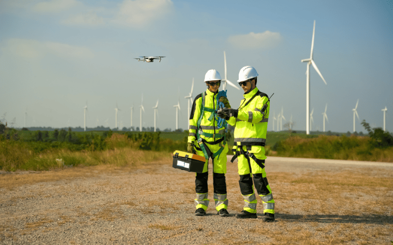
Corridor & Infrastructure Surveys
Corridor & Infrastructure Surveys
RCG Aerial Services
High-accuracy mapping for roads, pipelines, railways, and utility corridors using RTK/PPK drones.