We provide expert inspection services for your organization’s mission critical assets using drone technology.
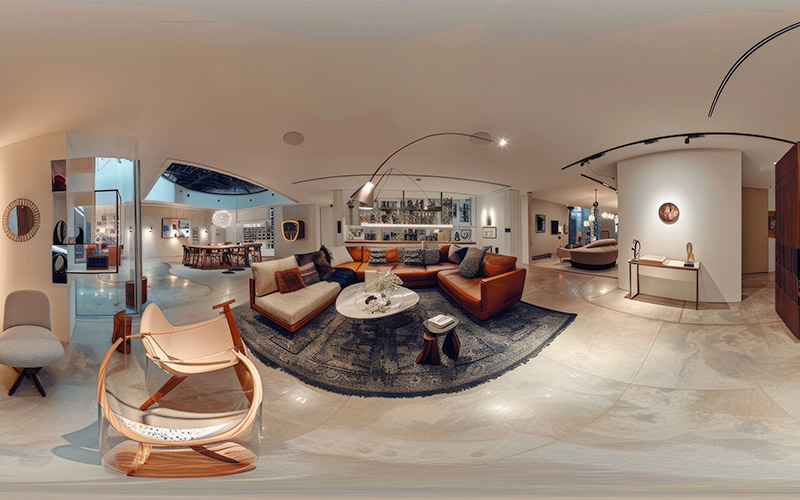
Immersive Digital Experiences for Real Estate & Businesses At RCG Aerial Solutions, we create high-quality 360° virtual tours that allow your clients to explore spaces remotely anytime, anywhere. Our virtual tours provide a realistic, interacti
Read More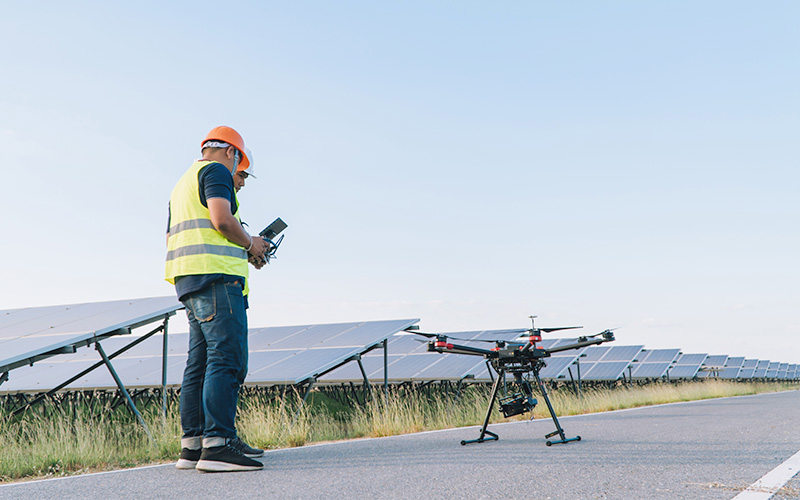
Accurate 3D Laser Scanning & Building Documentation RCG provides Terrestrial Laser Scanning (TLS) and Scan-to-BIM services to capture real-world environments with millimeter precision. We transform complex physical structures into intelligent di
Read More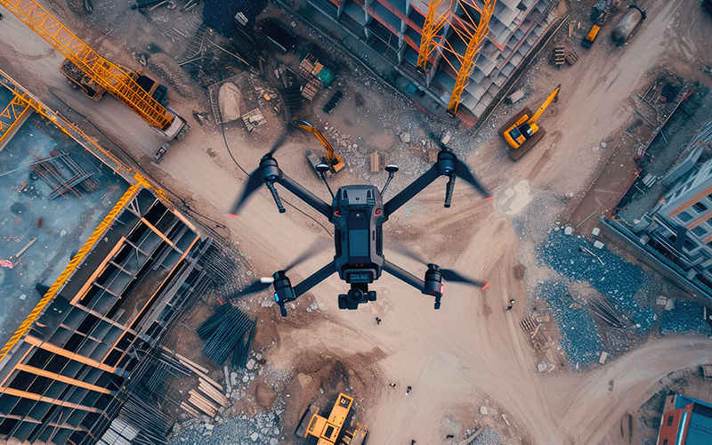
Precision Ground Survey Solutions for Engineering & Construction At RCG Aerial Solutions, we deliver high-accuracy ground topographic surveying services designed to support engineering, construction, and infrastructure projects across the UAE. U
Read More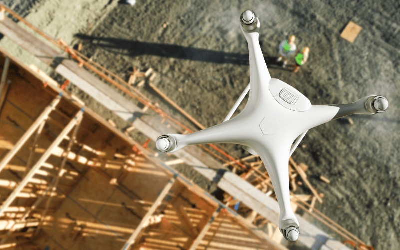
Bring your brand, event, or property to life with stunning aerial visuals by RCG Aerial Solutions. Our creative drone media team specializes in aerial photography, videography, and cinematic flythroughs tailored for advertising, real estate, tourism,
Read More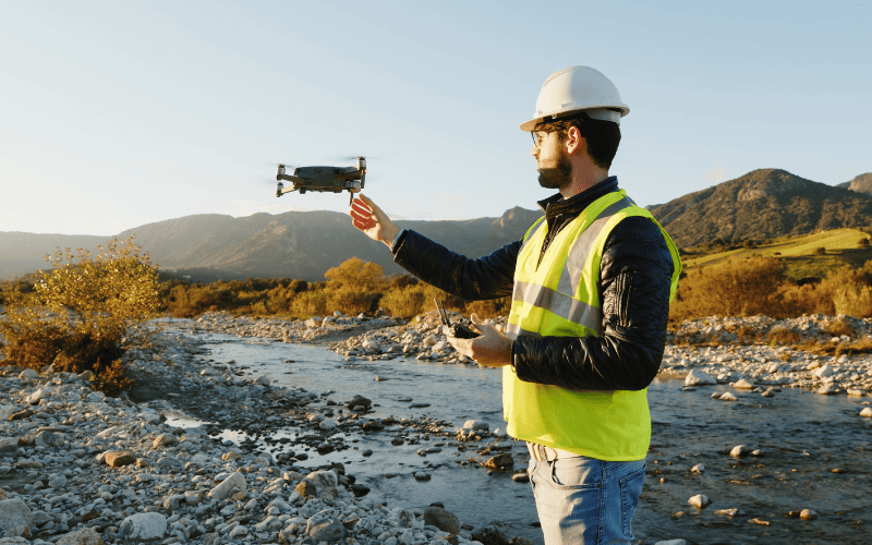
Overview At RCG Aerial Solutions, we provide high-resolution Drone Survey & Mapping services using advanced UAV technology and RTK/PPK systems. Our aerial mapping solutions deliver centimeter-level accuracy, helping engineers, developers, and pl
Read More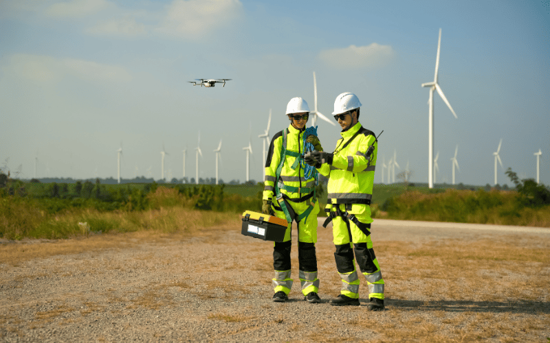
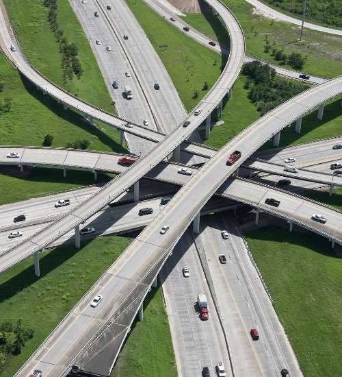
High-accuracy mapping for roads, pipelines, railways, and utility corridors using RTK/PPK drones.
Read More
Creating accurate topographical maps for preconstruction surveys, design and earth works monitoring
Read More
Overhead Lines, Chimney Stacks, Super Heaters, Gas Turbines, Solar Panels, Wind Turbines
Read More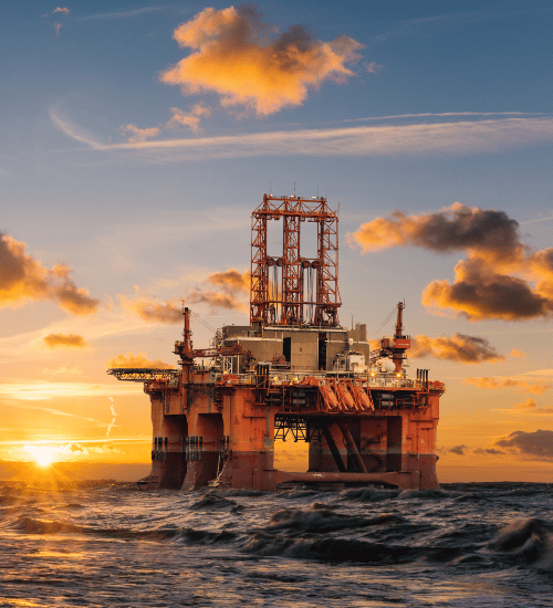
Flare Stacks, Storage Tanks, Pipeline, Pressure Vessels, Fireproof Structures, Distillation Columns
Read More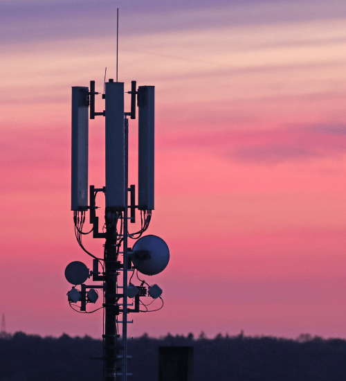
Public roads, bridges, overpass, construction, public parking, roofs, building facade
Read More
Using high resolution drone orthomosacis to monitor industrial areas and detect excessive pollution.
Read More