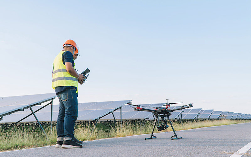
At RCG Aerial Solutions, we provide high-resolution Drone Survey & Mapping services using advanced UAV technology and RTK/PPK systems. Our aerial mapping solutions deliver centimeter-level accuracy, helping engineers, developers, and planners visualize terrain, volumes, and infrastructure with unmatched precision and efficiency.
Whether it’s for land development, construction progress, asset monitoring, or environmental studies, our drone surveys replace traditional ground methods—saving both time and cost while maintaining superior accuracy.
We use industry-leading sensors and software.
Our team ensures data integrity and technical compliance.
All work meets local municipal and regulatory standards.
Fast turnaround times to keep your project on schedule.